Skip to content
Earth Observation & Geospatial Applications Lab
Primary Menu
Home
Home (EN)
Αρχική (GR)
People
Education
University Courses
Training
Capacity Building
Outreach
Applications
Projects
Services
Publications
Resources
News
News (EN)
Νέα (GR)
Contact
Services
Categories of Services Provided by EO.Lab
Education
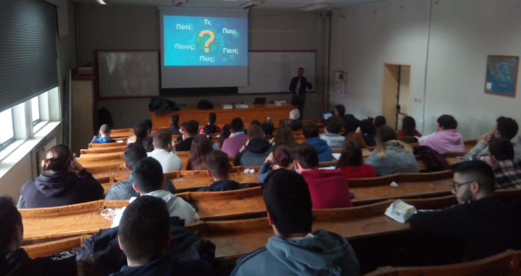
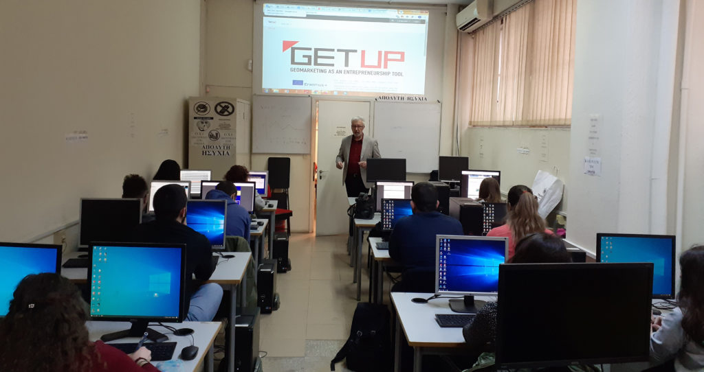
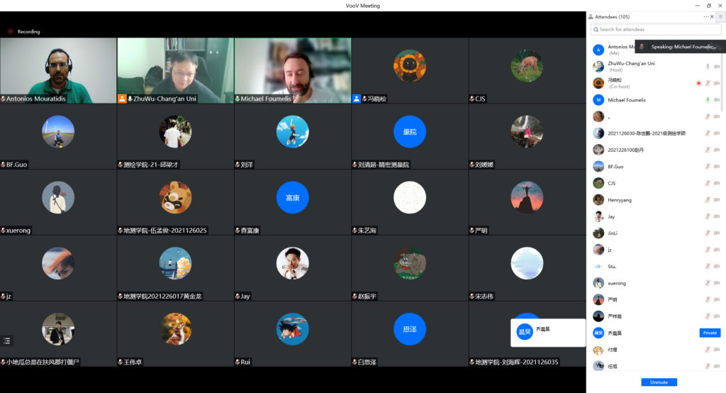
Provision of education, training, capacity building and outreach services in the area of Earth Observation and geospatial science & technology
Provision of education, training, capacity building and outreach services in the area of Earth Observation and geospatial science & technology
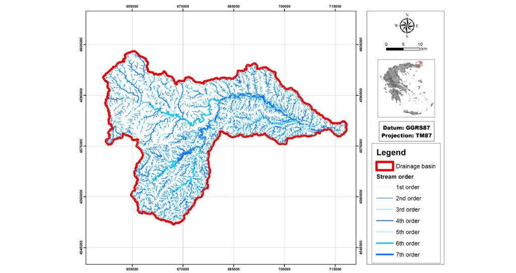
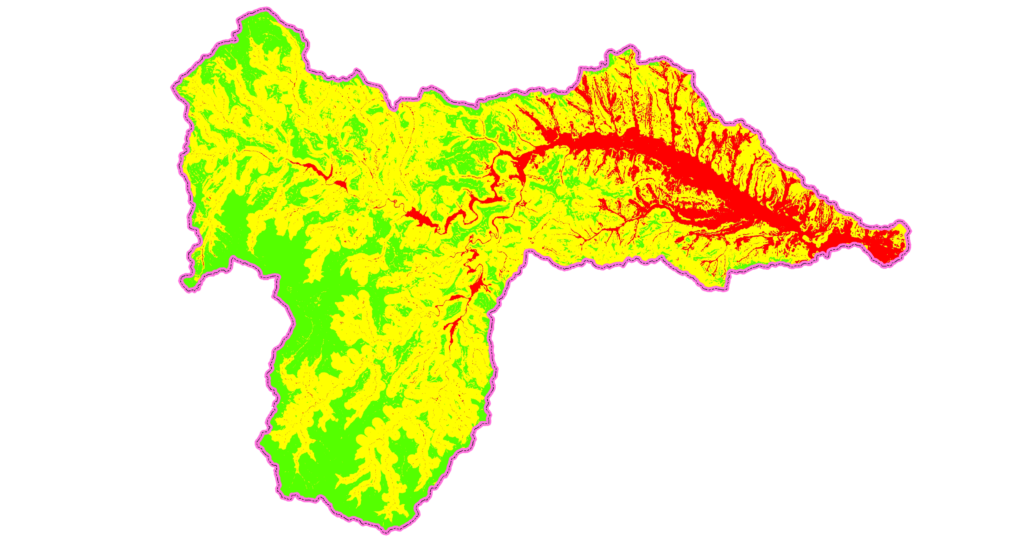
Water
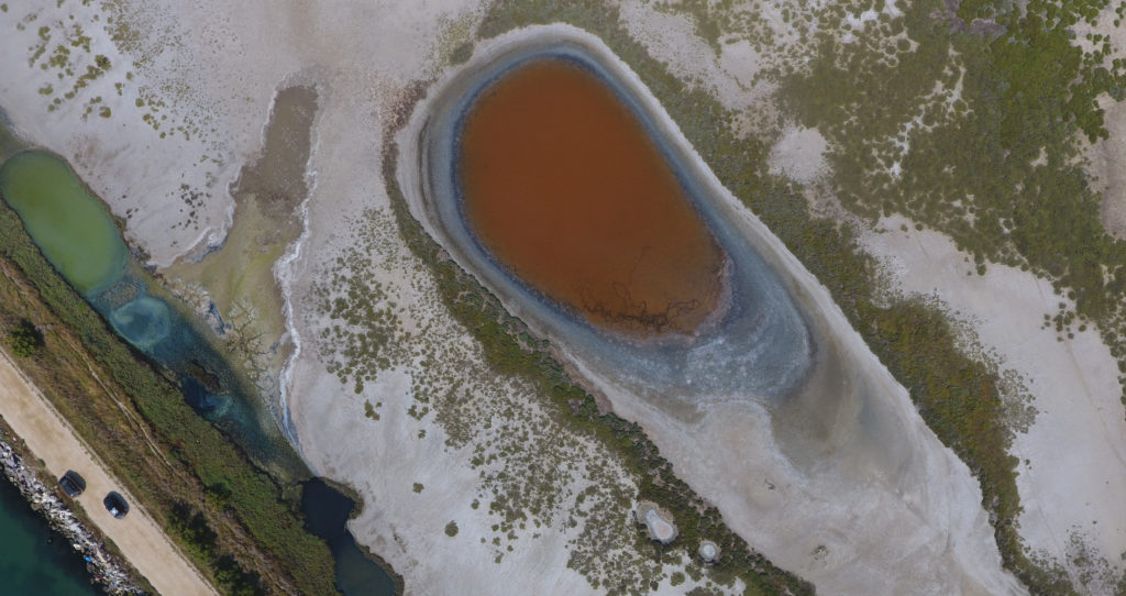
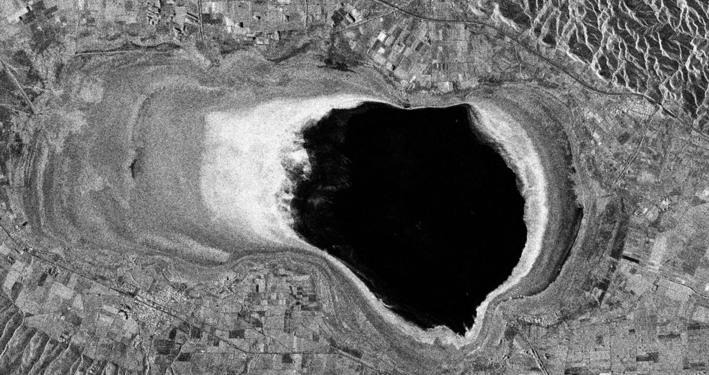
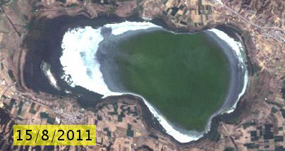
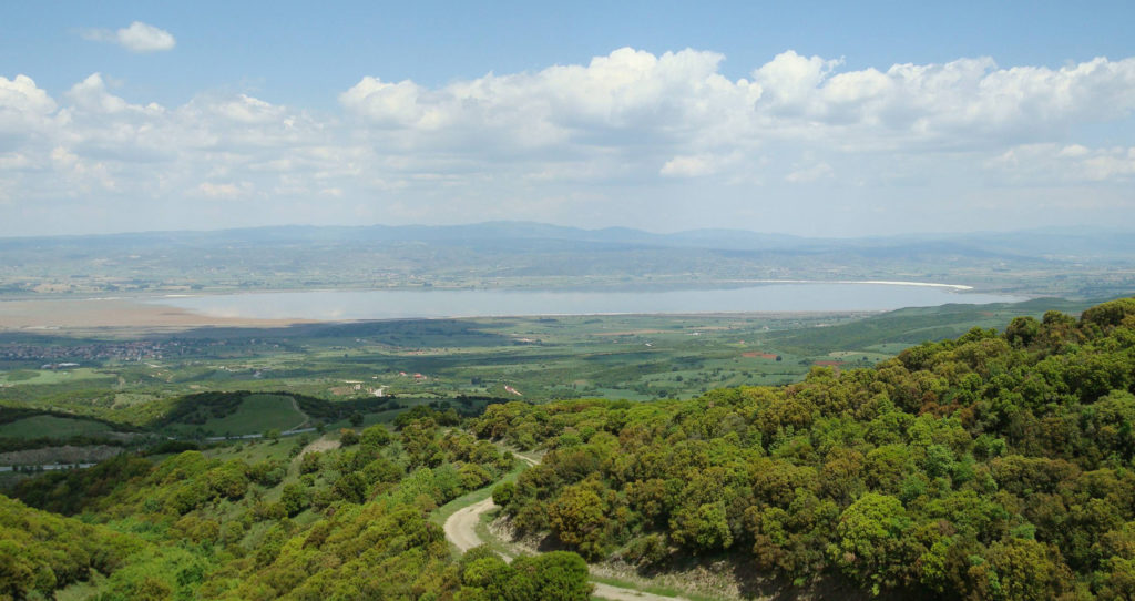
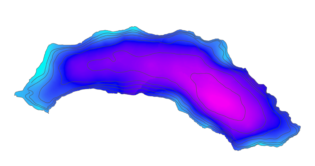
Quantitative and qualitative inland water body monitoring with geospatial technologies and hydroacoustics
Quantitative and qualitative inland water body monitoring with geospatial technologies and hydroacoustics
Quantitative and qualitative inland water body monitoring with geospatial technologies and hydroacoustics
Quantitative and qualitative inland water body monitoring with geospatial technologies and hydroacoustics
Quantitative and qualitative inland water body monitoring with geospatial technologies and hydroacoustics
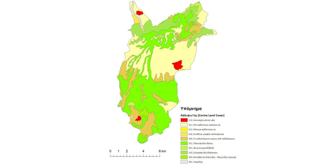
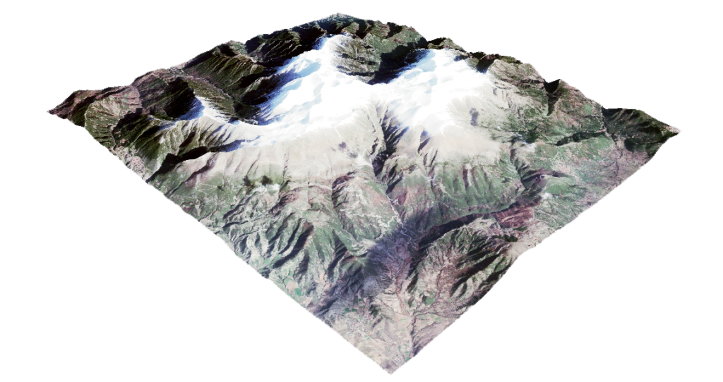
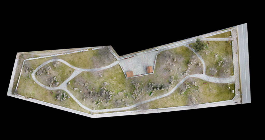
Mapping & Monitoring
General mapping and monitoring services
General mapping and monitoring services
General mapping and monitoring services
General mapping and monitoring services
General mapping and monitoring services
General mapping and monitoring services
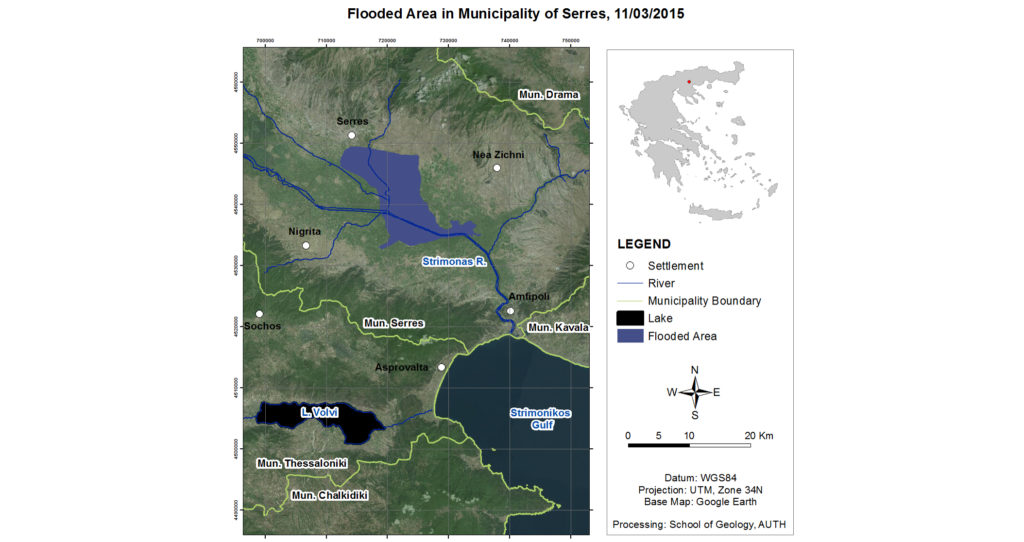
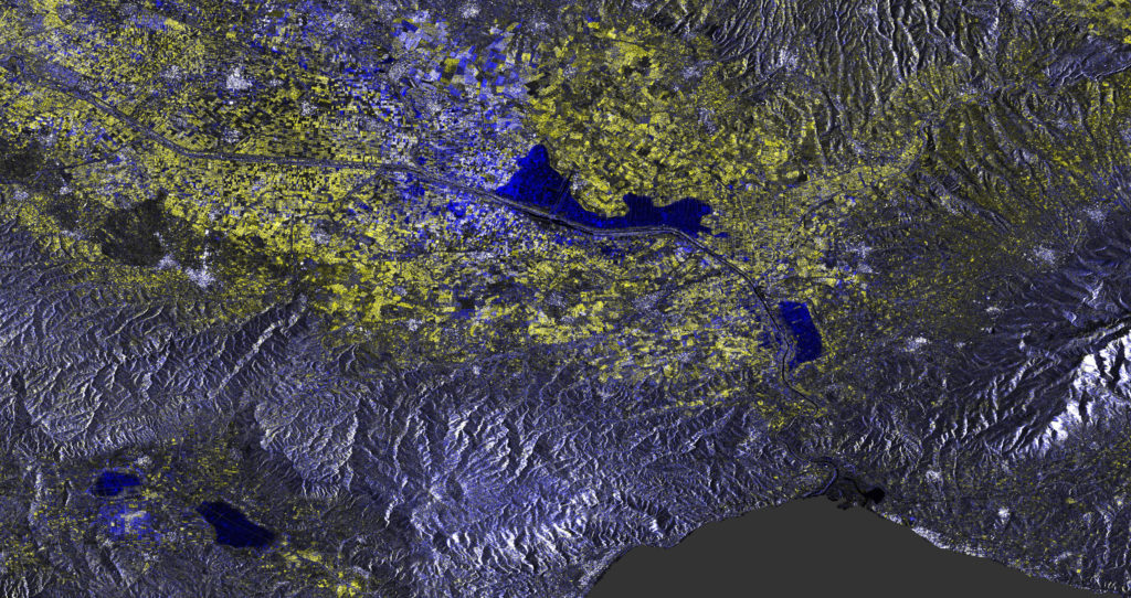
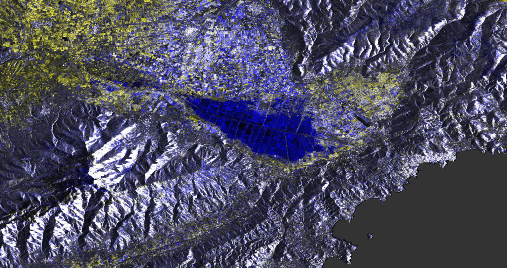
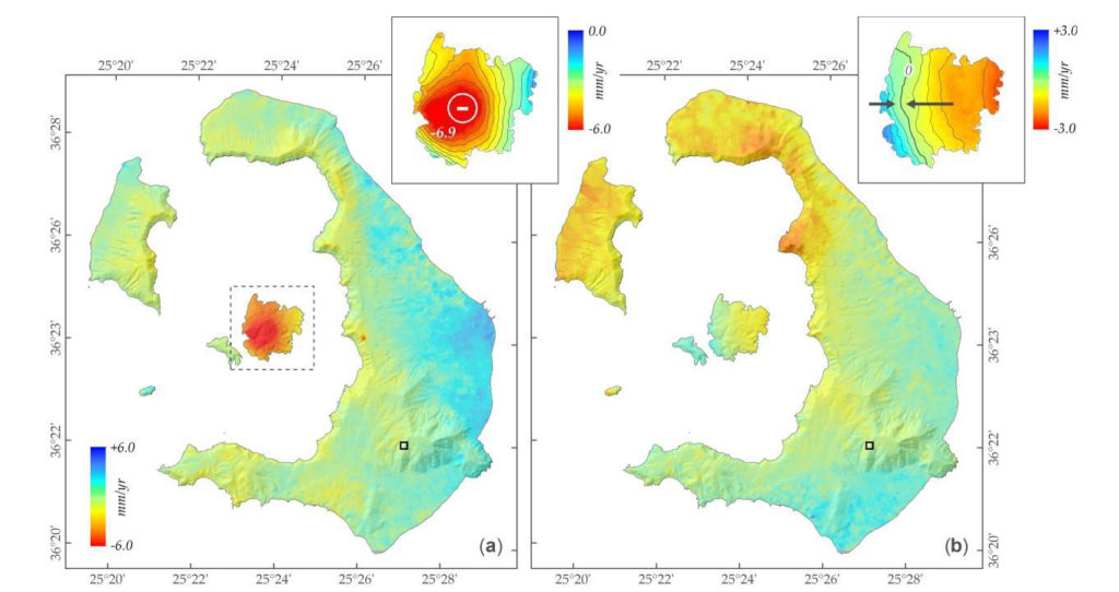
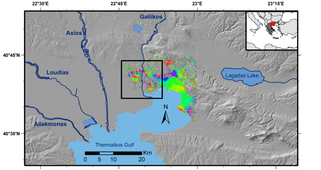
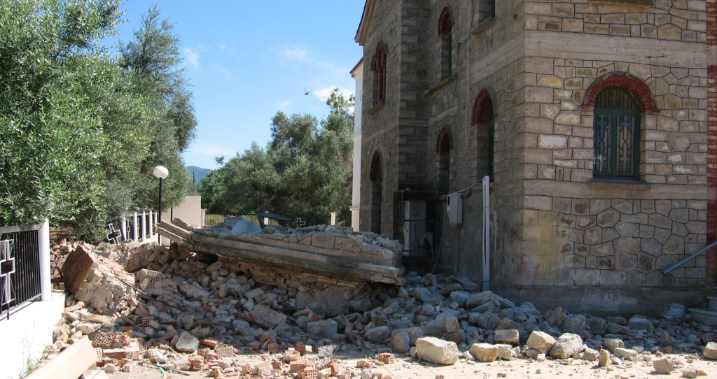
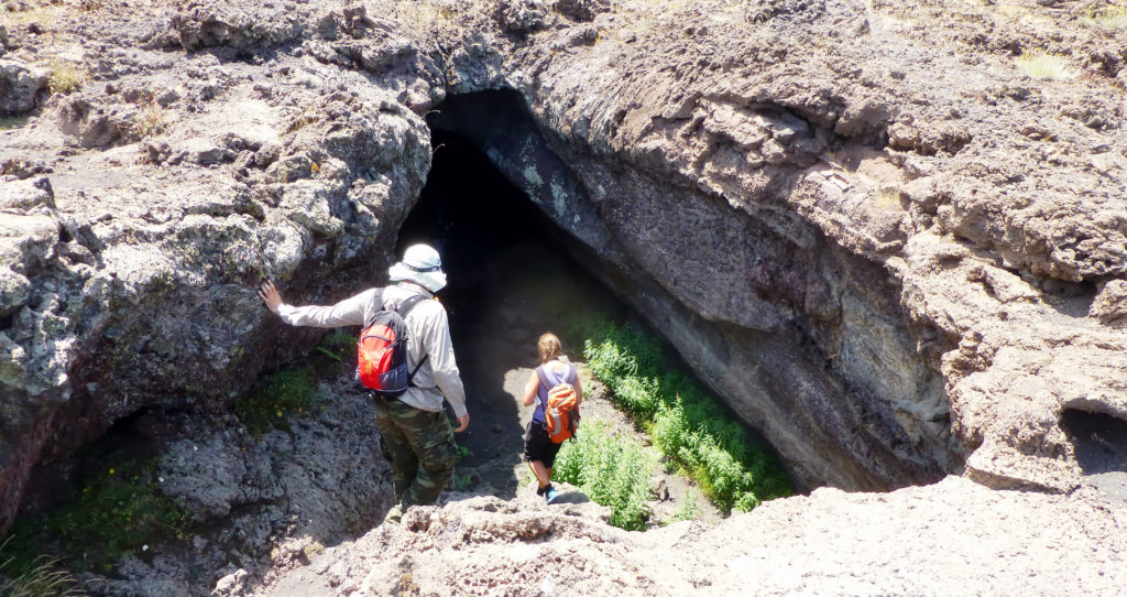
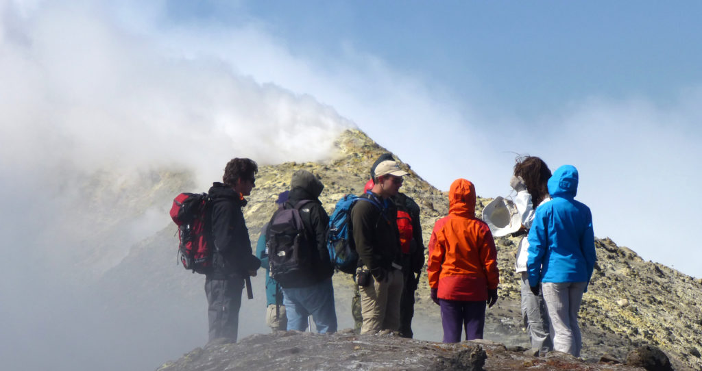
Geohazards
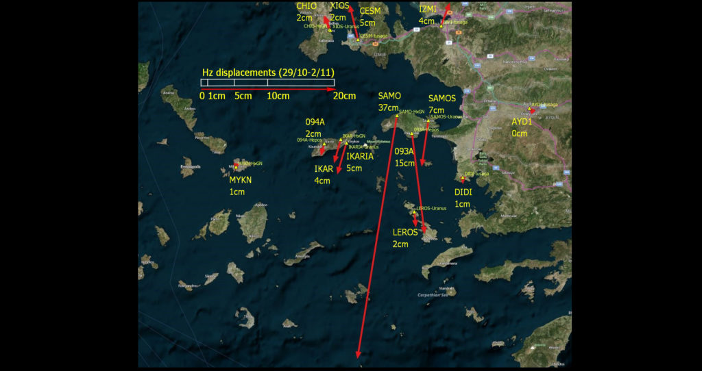
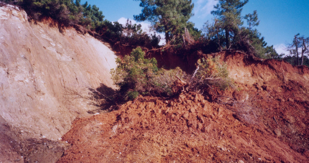
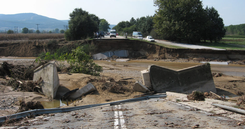
Hazard, Risk and Disaster mapping and assessment (earthquakes, floods, volcanoes, landslides, subsidence etc.)
Hazard, Risk and Disaster mapping and assessment (earthquakes, floods, volcanoes, landslides, subsidence etc.)
Hazard, Risk and Disaster mapping and assessment (earthquakes, floods, volcanoes, landslides, subsidence etc.)
Hazard, Risk and Disaster mapping and assessment (earthquakes, floods, volcanoes, landslides, subsidence etc.)
Hazard, Risk and Disaster mapping and assessment (earthquakes, floods, volcanoes, landslides, subsidence etc.)
Hazard, Risk and Disaster mapping and assessment (earthquakes, floods, volcanoes, landslides, subsidence etc.)
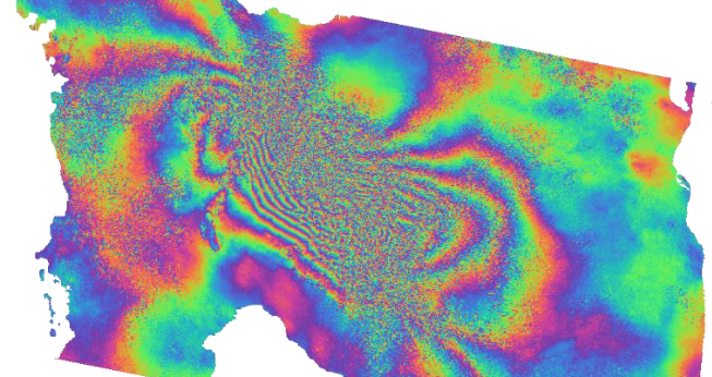
InSAR
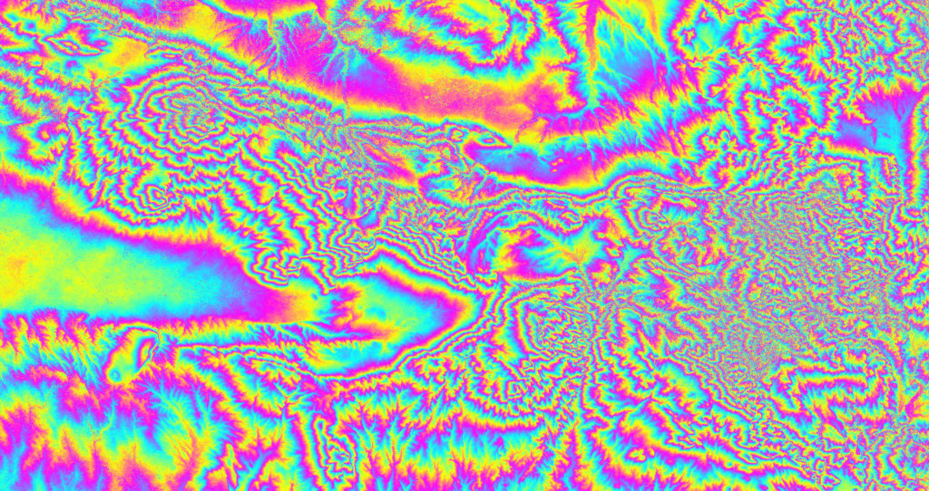
Satellite Synthetic Aperture Radar (SAR) interferometry (InSAR) for deformation monitoring
Satellite Synthetic Aperture Radar (SAR) interferometry (InSAR) for deformation monitoring
Satellite Synthetic Aperture Radar (SAR) interferometry (InSAR) for deformation monitoring
Satellite Synthetic Aperture Radar (SAR) interferometry (InSAR) for deformation monitoring
Satellite Synthetic Aperture Radar (SAR) interferometry (InSAR) for deformation monitoring
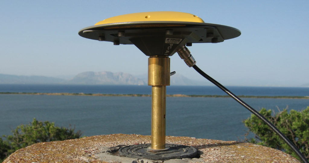
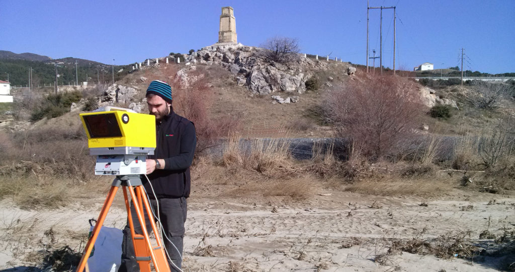
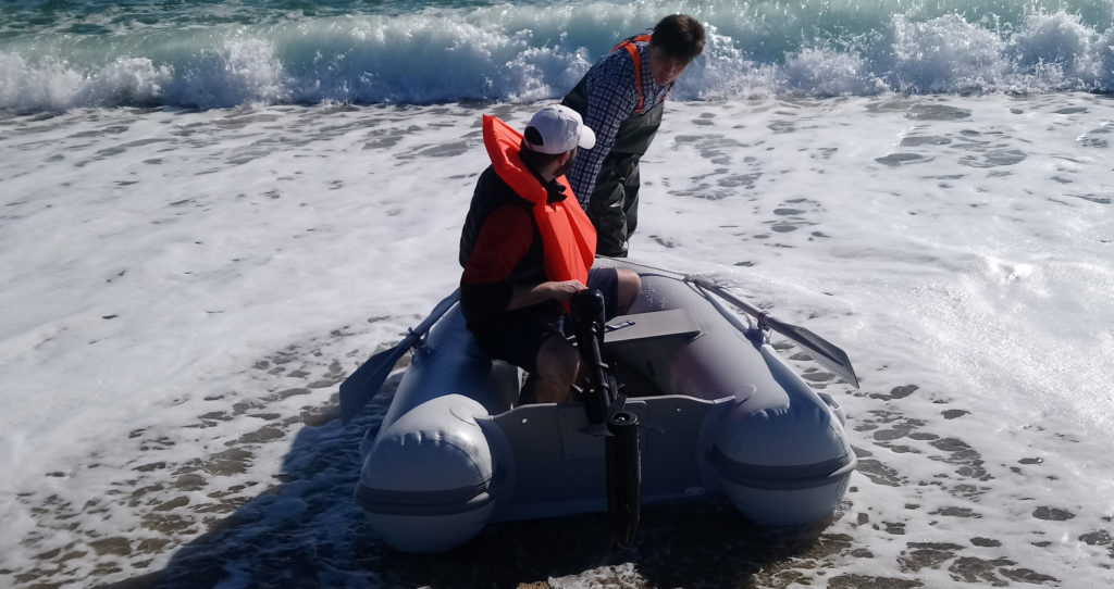
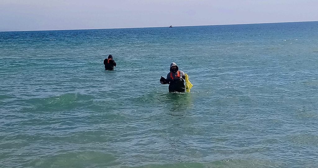
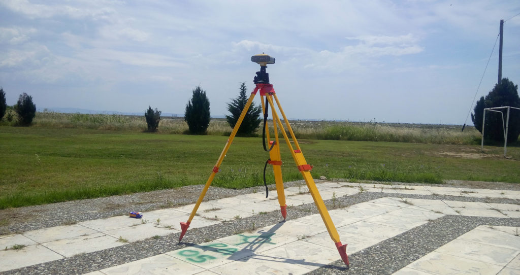
In-Situ
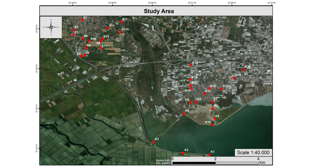
Collection of a variety of in-situ data (e.g. GNSS, surveying, UAV, spectral, physico-chemical), for calibration/validation purposes
Collection of a variety of in-situ data (e.g. GNSS, surveying, UAV, spectral, physico-chemical), for calibration/validation purposes
Collection of a variety of in-situ data (e.g. GNSS, surveying, UAV, spectral, physico-chemical), for calibration/validation purposes
Collection of a variety of in-situ data (e.g. GNSS, surveying, UAV, spectral, physico-chemical), for calibration/validation purposes
Collection of a variety of in-situ data (e.g. GNSS, surveying, UAV, spectral, physico-chemical), for calibration/validation purposes
Collection of a variety of in-situ data (e.g. GNSS, surveying, UAV, spectral, physico-chemical), for calibration/validation purposes
Collection of a variety of in-situ data (e.g. GNSS, surveying, UAV, spectral, physico-chemical), for calibration/validation purposes
Collection of a variety of in-situ data (e.g. GNSS, surveying, UAV, spectral, physico-chemical), for calibration/validation purposes
Collection of a variety of in-situ data (e.g. GNSS, surveying, UAV, spectral, physico-chemical), for calibration/validation purposes